
Cape Cod Watershed Flood Insurance Webinar
Flood risks are changing in the Cape Cod watershed and preliminary flood maps have been released. The preliminary map (see attached notice) is a draft version of the Flood Insurance Rate Map that is circulated for review and comment. When preliminary maps are released, you can learn how the updated map may affect you and your property.
Webinar Details
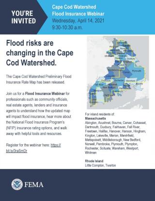
Join the Federal Emergency Management Agency on Wednesday, April 14, 2021, from 9:30 am to 10:30 am for a Flood Insurance Webinar for industry professionals. This webinar is for inland residents of the following communities:
Massachusetts
Abington, Acushnet, Bourne, Carver, Cohasset, Dartmouth, Duxbury, Fairhaven, Fall River, Freetown, Halifax, Hanover, Hanson, Hingham, Kington, Lakeville, Marion, Marshfield, Mattapoisett, Middleborough, New Bedford, Norwell, Pembroke, Plymouth, Plympton, Rochester, Scituate, Wareham, Westport, Whitman
Rhode Island
Little Compton, Tiverton
Highlights
- Hear about the mapping projects and better understand where the changes are occurring on the new flood maps.
- Learn about the potential impacts on flood insurance and building requirements.
- Hear more about the National Flood Insurance Program's available insurance rating options.
- Walk away with online tools and resources to assist you.
Registration
Register for the webinar by going to https:// bit.ly/3raSmDr